- Thu 28 October 2010
- Cartographica
- Rick Jones
Indonesia is currently experiencing several natural disasters occurring simultaneously. The country recently experienced a 7.5 earthquake which resulted in a tsunami near the Mentawai Islands. Additionally, Mount Merapi, a large volcano on the island has erupted. Thus far, the two natural events have displaced nearly 20,000 people and have killed over 400. This post uses Cartographica to map the problems being faced by the troubled South Pacific country.
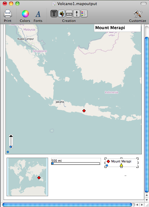
The first image shows the Southeast Asia and the Epicenter of the Recent Earthquake
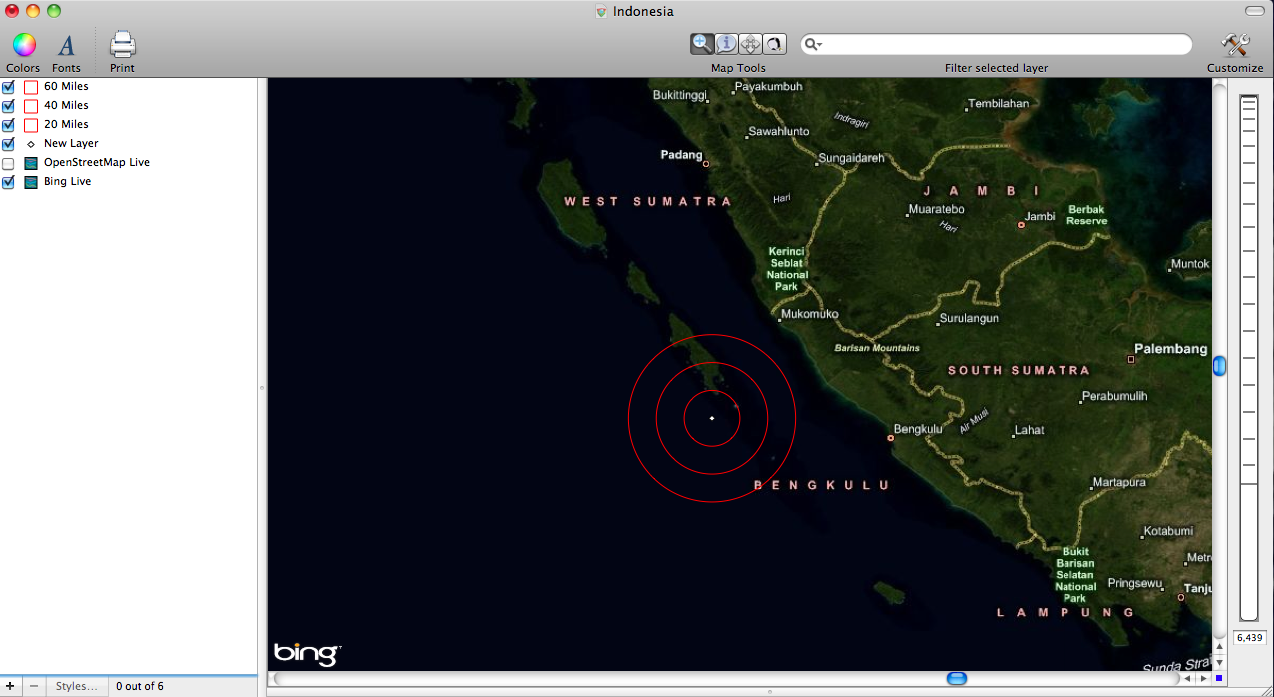
The second image shows a closer extent of the Earthquake Epicenter

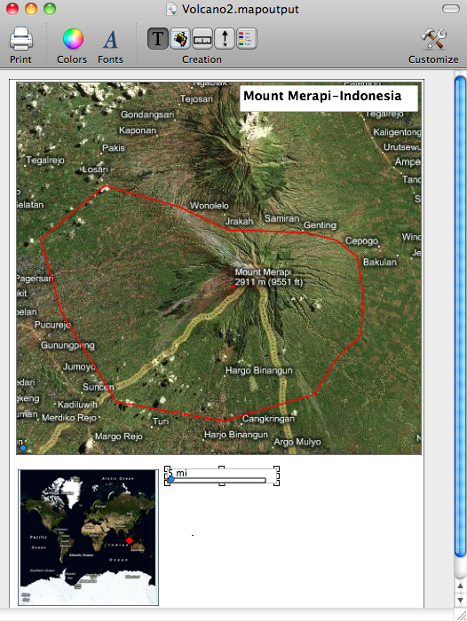
The third image is of the location of Mount Merapi
The fourth Image is a satellite image of Mount Merapi