- Mon 16 November 2009
- Cartographica
- Rick Jones
Lets pretend that we are housing developers looking to develop land in a historic downtown neighborhood. We have identified a parcel of land in a prime location and we want to propose a plan for development on the land. We want to show our investors what we have planned by locating the parcels using Cartographica, and then importing those parcels into Google Earth so that we can show the investors a 3D mock up of the planned development. We can combine Cartographica, Google Earth, and Google Sketch up, to make this happen.
In our hypothetical scenario there is one problem, the land we have selected and that is it is actually two parcels of land that we want to develop. This means two owners to purchase the land from, and a bit more research in terms of what the land is worth, and then negotiating what the owners want for it. Also this is a problem because Google Earth does not allow us to view individual parcels. To show the two parcels of land in Google Earth we need to first need to use Cartographica to export the parcels as .KML files so that they can be viewed in Google Earth. Look at the first screenshot provided below you can see the two selected parcels that we hope to develop as they appear in Cartographica. Next, we simply export these parcels so that they can be viewed in Google Earth. The next Screenshot shows the imported .KML file in Google Earth. In screenshot 3-5 we can see our design for these parcels that we made Google Sketch Up. It is obviously beneficial to see the design as a 3D model of our design in relation to 2D structures on the Google Earth map. This blog posting shows how easy it is to use Cartographica in conjunction with Google Earth and Google Sketch up, and how using these programs allows us to easily produce information that could be used in a business setting like housing development.
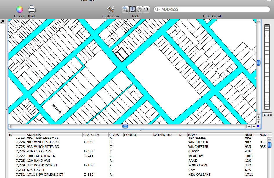 |
Screenshot of Parcels in Cartographica |
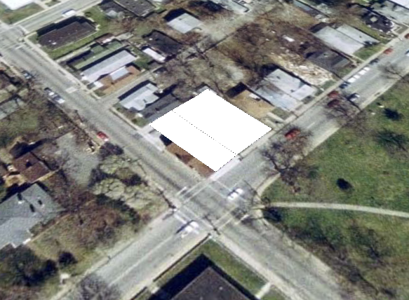 |
.kml file Imported into Google Earth |
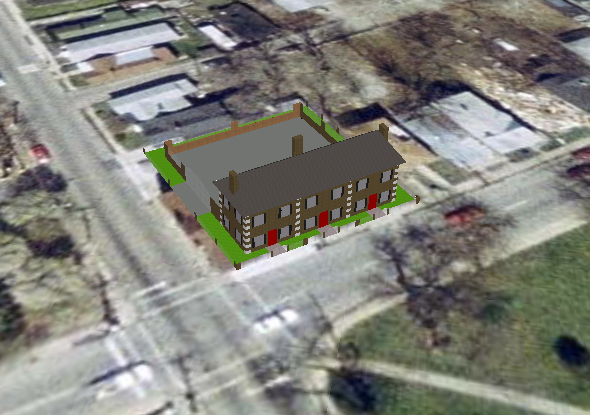 |
3D Design from Sketch Up |
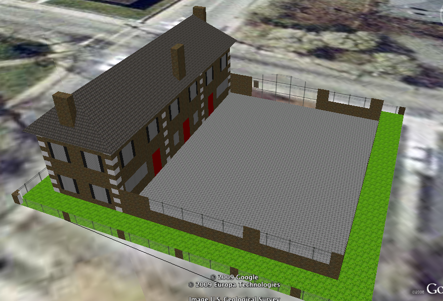 |
3D Design from Sketch Up |