- Tue 06 October 2009
- Featured Maps
- Rick Jones
I recently came across a great website called World Wind Central that has compiled a great source of orthophoto data. I decided to use data form the website to show how to download import and map orthophotos along with data collected from the census bureau.
In order to create maps with orthophoto data included, you first must download the orthophoto data from a website like World Wind Central . If you wish to include census data you can simply download shapefiles and import the census and orthophoto data into the same map (assuming they are on the same projection). To illustrate this process I am including several screenshots of the process. In order to import orthophotos you must choose to import raster data, which is a similar process as importing shapefiles except that you must identify the data as raster instead of vector data. Once you have determined the type of data that you are importing the rest is fairly self explanatory. The advantages of using orthophoto data are many, but one of the main advantages is that it provides a great deal of spatial referencing by looking at landmarks and other geographical features.The data that is included in this post is of Bloomington, Indiana and Indiana University.
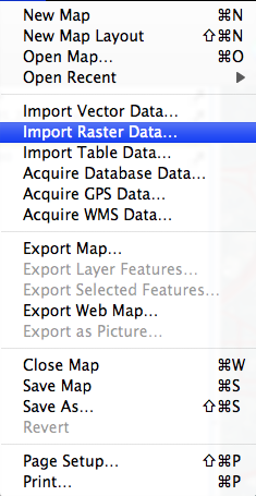 |
Screenshot of the import raster data window |
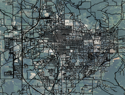 |
Screenshot of Bloomington, Indiana with Orthophoto and Street Overlay |
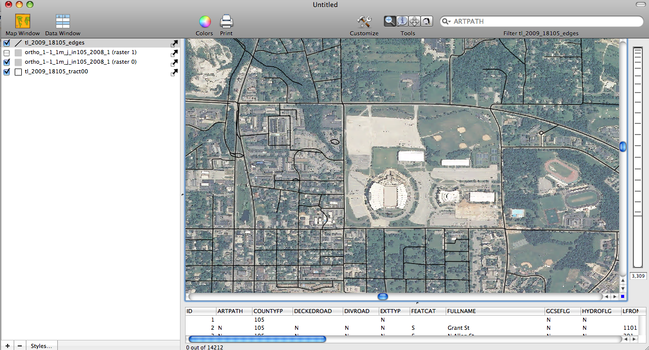 |
Screenshot of Indiana University Football Stadium with Street Overlay |
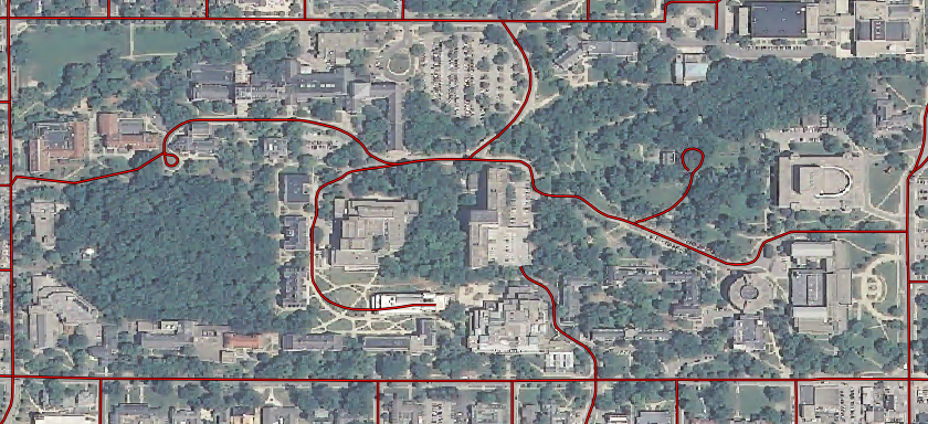 |
Indiana University Main Campus |