- Thu 01 October 2009
- Featured Maps
- Rick Jones
Building off of Gaige's May 2009 post regarding data available online from the city of Washington D.C. I decided to create a few interesting maps just to show some of the analytic capabilities of Cartographica. The city of Washington D.C. provides a large range of data regarding practically anything that can be spatially analyzed within the city. For this example I decided to collect several demographic, infrastructure, and other social data to create a few interesting maps. Compiling a large amount of data from an online source such as D.C. GIS is a valuable skill to learn because obtaining free data can work to benefit any research or professional endeavor using GIS. Taking advantage of free data can greatly offset the cost of large scale research projects, and being able to quickly add them into programs like Cartographica is extremely beneficial.
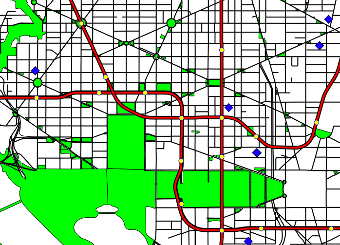
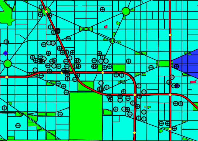
Below are a few maps of the city that I felt were pretty interesting both as someone who enjoys making maps and who enjoys manipulating a great amount of data. I included some information about transportation lines, transportation stations, parks, banks, and police stations.
- Green (Parks)
- Red Lines (Metro Lines)
- Yellow Dots (Metro Stations)
- Blue Diamonds (Police Stations)
- Census Tracts are shaded in hues of blue.
- Navy blue is Highest concentration of Female Headed Households
- Royal blue is Mid-level concentration of FHH
- Cyan blue is lowest level of FHH
- Magenta (Public Housing Sites)...Notice the relationship between public housing locations and areas with high concentrations of FHH
- Map Point Targets are Banks
 |
D.C. Area with Parks and Metro Lines with Color Background |
 |
D.C. Area with Parks and Metro Lines |
 |
Map Showing Census Tracts (FHH) and Public Housing Sites |
 |
Downtown D.C. and Bank Locations |