- Mon 24 May 2010
- Tips and Tricks
- Rick Jones
Cartographica has been able to export to KML since it first shipped. Cartographica 1.2 has an enhanced KML exporter that makes it even easier to make your maps shine using Google Earth, Google Maps, and other products that use KML. The software now exports all raster and analysis layers, as well as the precise point types that you use in your maps in Cartographica (as opposed to using the default pushpins that are part of Google Earth's repertoire).
To export a layer file to KML follow the steps below.
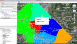
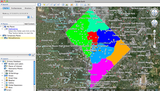
First design a mapset that you want to export into Google Earth. In the example below we are going to use Washington D.C. data to show where Police districts located on the map. Then we are going to export to a KML and open the file in Google Earth. Once you have set up your map to look the way you want simply choose Export Map from the File menu.
-
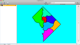
The Police districts in Washington D.C. that we want to view in Google Earth\
-
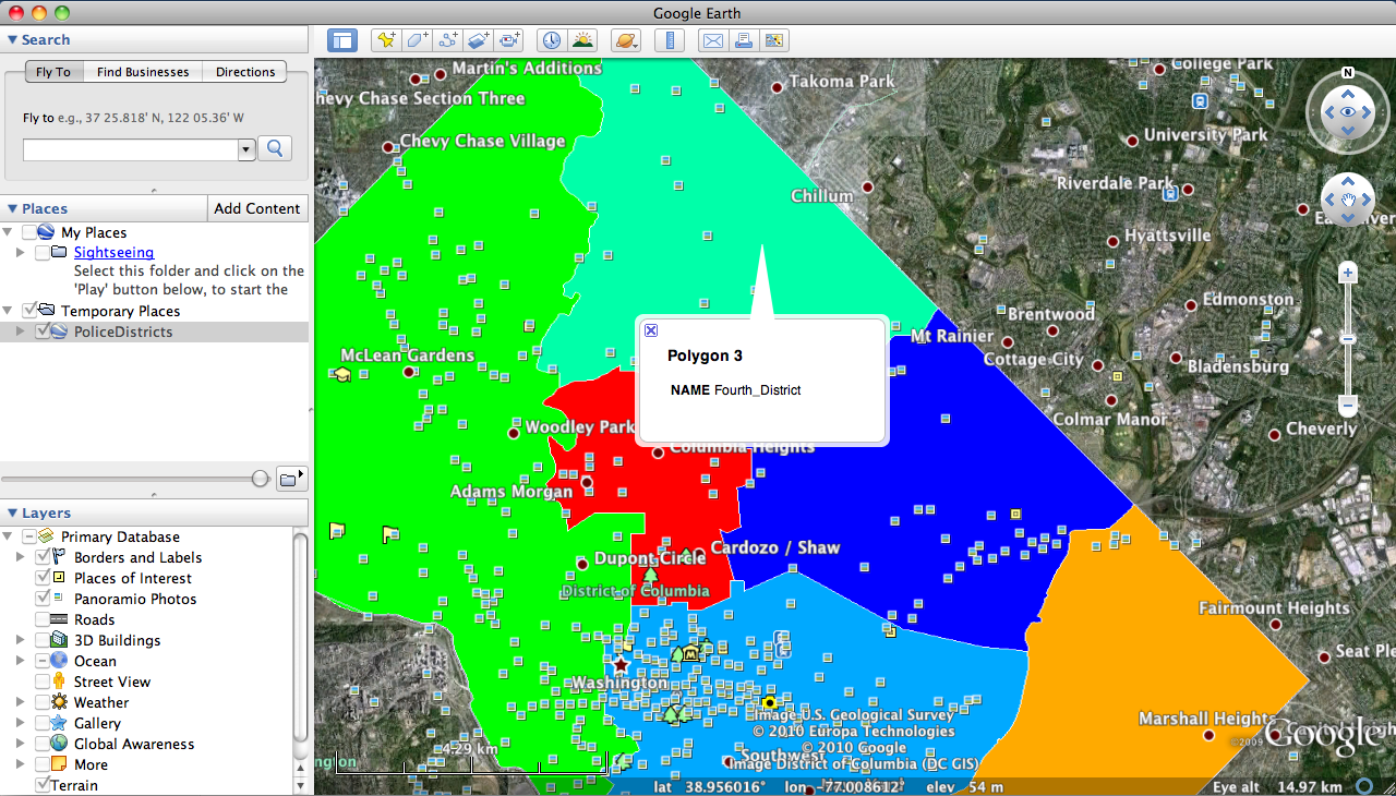
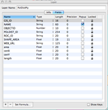
A nice option within Cartographica 1.2 is the ability to choose information that will popup in Google Earth. To do this click Window, Show Layer Features, and under the Popup field check Name. The name of each police district will now be visible in Google Earth.\
-
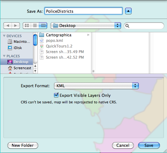
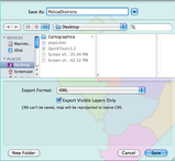
Next we want to Export our map as a KML\
-
The newly created Police District KML file imported into Google Earth\
-
Google Earth Image showing the Popup for the Fourth Police District in Washington D.C.\