- Wed 17 February 2010
- Cartographica
- Rick Jones
The 2010 Winter Olympics are underway in Vancouver, British Columbia!!! In honor of the games, this post is dedicated to mapping the city of Vancouver and several important Olympic sites. For this post data were obtained from the City of Vancouver's Data Catalogue, which has a lot of really interesting data about the city. Included within this data are several files that show important Olympic sites, as well as data about rapid transit systems and road closures.
Vancouver is a coastal city that is a very popular tourist destination. Known for both its natural and man-made beauty it is home to nearly 2.5 million people. It is the the largest city in Western Canada and the third largest city overall. In 2003, Vancouver was selected as the host of the 2010 Winter Olympic and the 2010 Paralympic games, which had an estimated cost of nearly Canadian $2 billion. Preparation for the Olympics resulted in the renovation or construction of new facilities such as BC Place Stadium, Pacific Coliseum, and the Olympic/Paralympic Centre which are each sites for popular Olympic events. The BC Place Stadium will host the opening and closing ceremonies, Pacific Coliseum will host figure skating and speed skating, and the Vancouver Olympic/Paralympic Centre will host Curling. The Vancouver Data Catalogue has data on the locations of these sites and other important information about the games and the city.
2010 Winter Olympics Maps
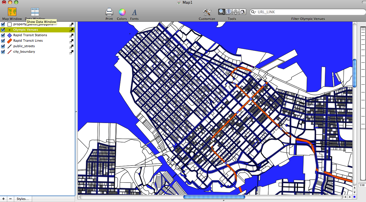 |
Downtown Vancouver |
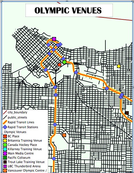 |
2010 Olympic Venues |
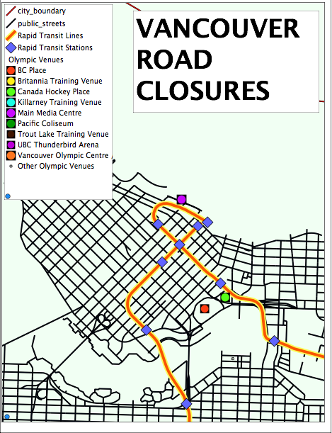 |
2010 Winter Olympics Road Closures |
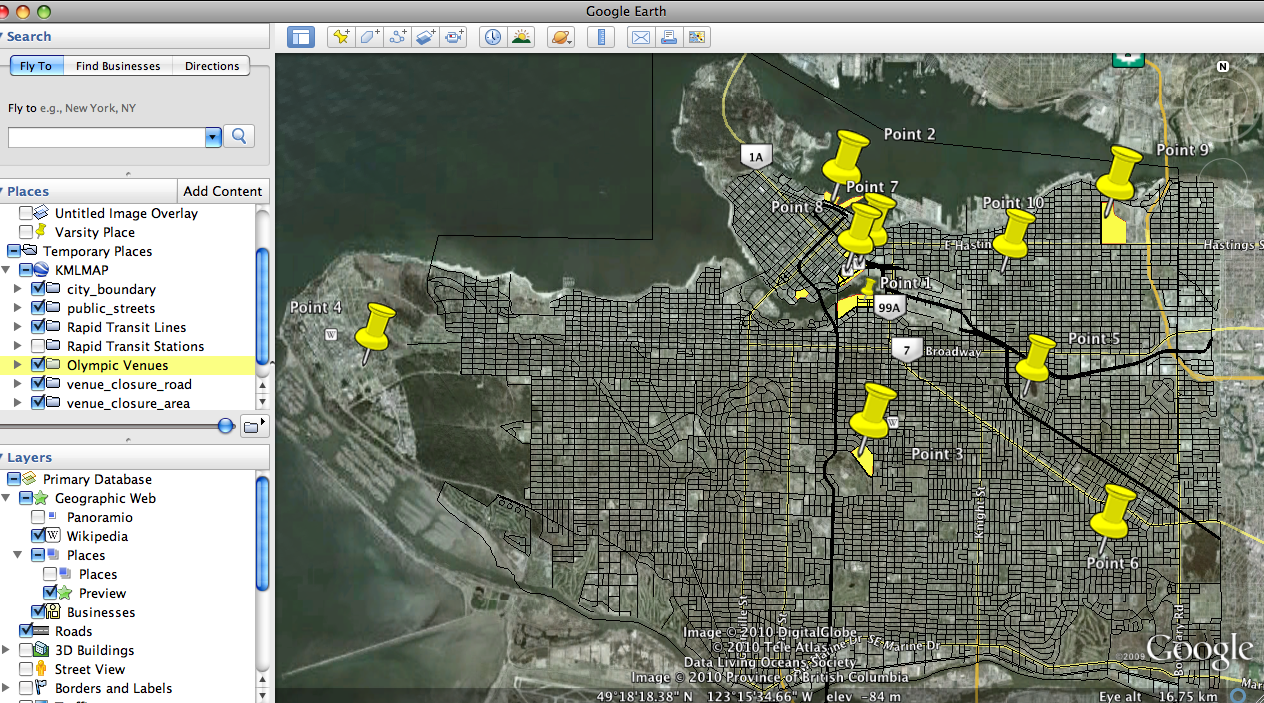 |
Map imported into Google Earth |