- Thu 17 June 2010
- Cartographica
- Rick Jones
The BP oil spill continues to plague the Gulf of Mexico. President Obama addressed the nation yesterday explaining the many challenges that oil spill presents, and the cost that it is having on the U.S. This post highlights the use of NASA satellite imagery of the oil spill and shows how to perform some basic analysis on how large the oil spill is. Specifically, you will see how to add and create your own layers for analysis.
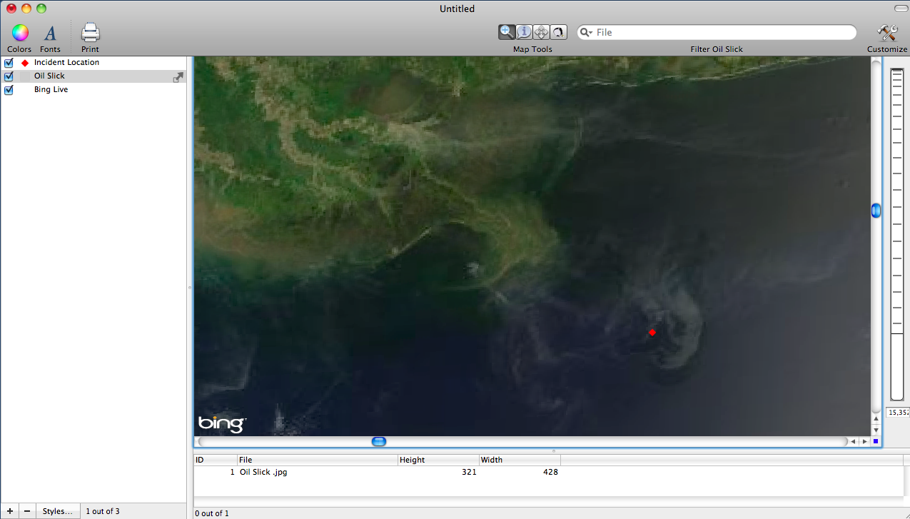
- In order to map the oil spill a satellite image was first collected from NASA's Website. This post uses Cartographica's edit feature option to draw a new polygon layer that shows the location of the oil spill. The first step in this process was to find the image and import it into Cartographica.
- Once the image is georeferenced the next step is to Add a New Feature so that we can create a new polygon layer based on the satellite image of the oil slick. In order to create a new layer click on the "+" sign at the bottom of the layer stack to add a new "blank" layer", then select the New Layer in the layer stack, and then click on the Edit drop down menu and click on Add Feature.
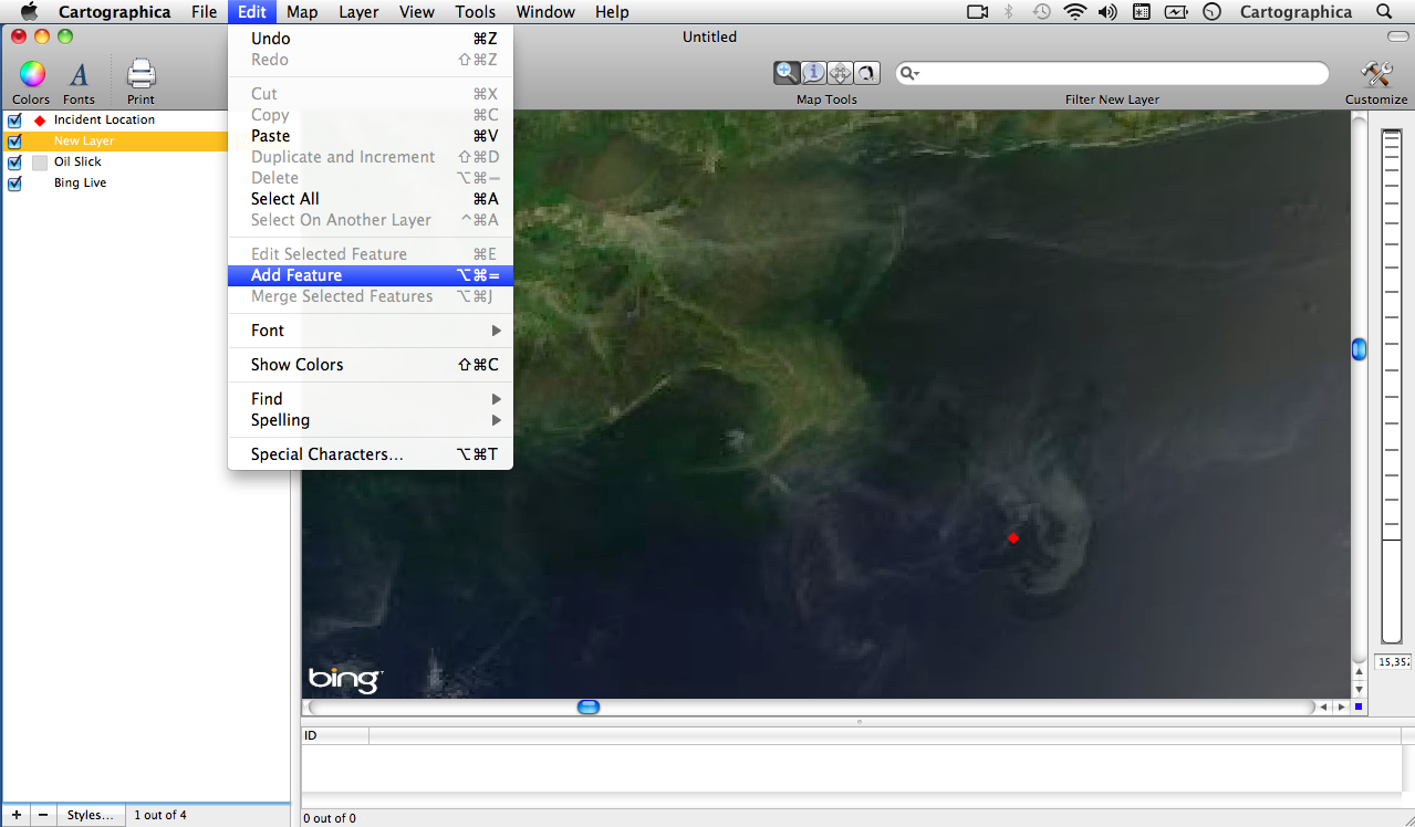
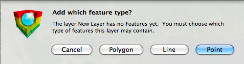
- Now we are able to choose the type of new layer that we want to create. We want to draw a new polygon representing the oil slick, so click on Polygon.
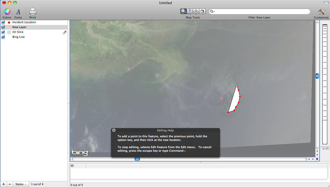
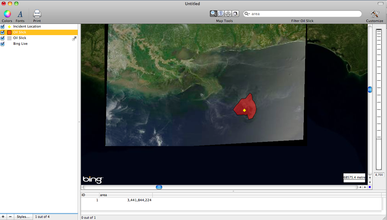
- Next we can begin to draw our polygon around the image of the oil slick.
- Finally the last step is to determine how large of an area the oil slick was at the time the image was taken. To determine the are click on the new Oil Slick layer in the layer stack and then click on the Tools drop down menu and then Add Area. Looking in the Data Viewer Window at the bottom of the screen we can see that area of the oil slick is 3,441,844.24 square meters.
The Final Product
More in Cartographica
← Mapping Agriculture in the U.S.
|
Mapping the BP Oil Spill Using Cartographica →