- Sat 26 December 2009
- Featured Maps
- Rick Jones
Building off of the last post I decided to incorporate Google Earth and some analysis to show where Al'Qaida and Taliban forces have been concentrating in Afghanistan. To determine the areas of operation of both of these terrorist organizations I compiled information from various sources to create a basic map of where these groups are operating and where the U.S ground forces are focusing their attention.
After a little research I created a basic map of the areas of operation by simply using the measure tool in Cartographica to determine the X and Y coordinates in order to create the boundaries of these areas of operation. After I compiled all of the coordinates into a .dbf file I geocoded these points into Cartographica using the coordinates geocoder and then then created convex hulls around these points. This is an easy yet effective way of creating intelligence maps and can be used for practically any type of mapping. Below I have included several screenshots of this process including the final product which I imported into Google Earth in order to provide a little extra context into the current situation in Afghanistan. Additionally, I have included a map of the Kandahar region which has been a very important point during the U.S operations in Afghanistan.
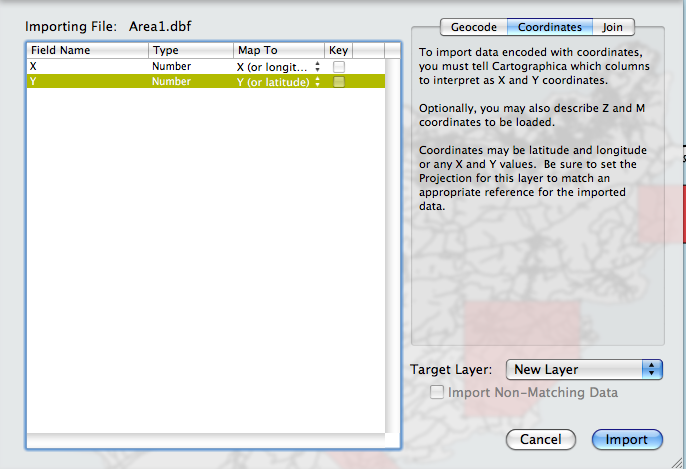 |
Coordinate Geocoder |
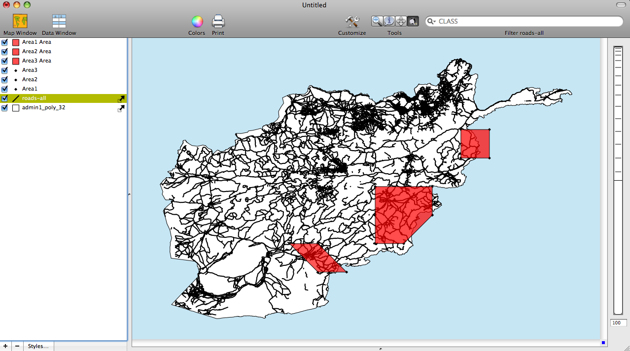 |
Areas of Operation in Cartographica |
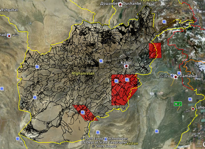 |
Areas of Operation Imported into Google Earth |
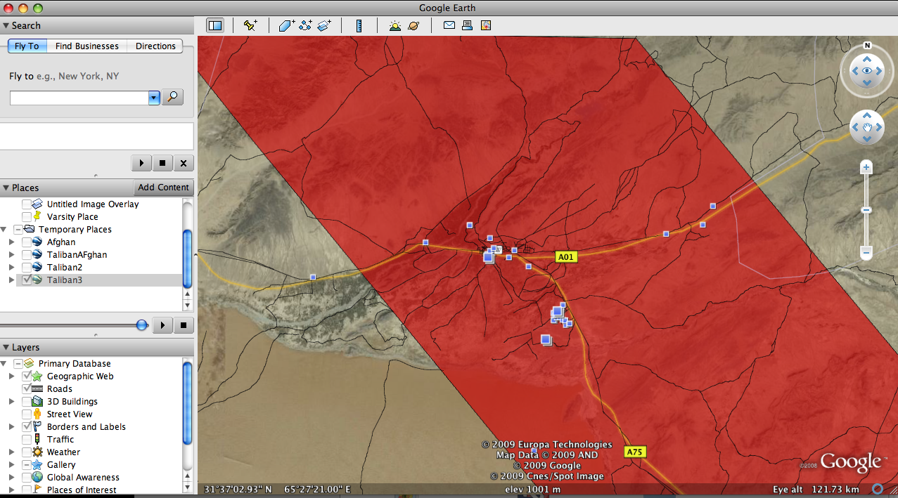 |
Kandahar Region |