- Wed 12 May 2010
- Tips and Tricks
- Rick Jones
Version 1.2 of Cartographica has a new way of selecting symbols that allows the use of just about any image or drawing as a symbol, either from the built-in symbol browser, or from another source such as the internet. This is really handy as essentially any object that has an Identifiable symbol can be found on the internet and used (keeping in mind copyright ownership of the symbols).
Symbol selection is now done through a drop zone inside of the Layer Styles window, located at the bottom of the window, to the right of the preview. When you click on the drop zone (or select Show Symbol Browser in the Window menu), the built-in symbol browser shows up. You may drag a symbol from the browser if you would like to use one of the built-in symbols.
However, it is also possible to use any image or drawing that you have on your computer as a symbol, which includes everything from photos to line drawings, to small PDF files.
One important thing to note about the new symbol support is if Stroke is turned on, the software will replace the blacks in the image with the stroke color and the whites with the fill color (keeping all other colors the same as in their original and respecting the alpha channel). In some cases of grabbing symbols from the internet it is helpful to turn the stroke option off so that the exact symbol found on the internet can be displayed in the map. Here's how the process goes:.
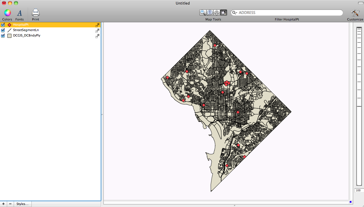 |
Washington D.C. Hospitals |
 |
Layer Styles Window Showing Point Symbol |
 |
Layer Styles Window Showing New Hospital Symbol (Notice Stroke is turned off) |
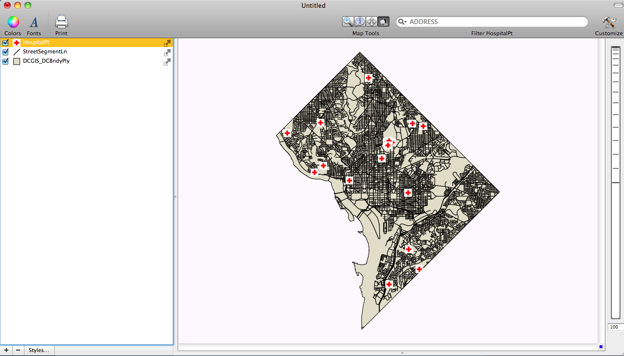 |
Displaying New Hospital Symbols |
**The symbol in this example was borrowed from Facebook Symbols
There are a number of good sources for public domain and inexpensively licensed symbols. Now, with this new Cartographica feature, you have complete flexibility in your use of symbols on your map.