- Sun 02 August 2009
- Geo Data
- Rick Jones
Recently a friend of mine received information in the mail about becoming a Naval Officer. In the packet of information was a brochure that included information about locations of U.S. Naval bases and ports throughout the world. The location information was simply a list of cities around the world where the bases and ports are located. I thought it would be both interesting and informative to talk about how to turn a list of cities into a map.
The process for creating the map is pretty simple, and can be completed in just a few easy steps.
- The first step is to get the cities into a list, which can be done on any database program.
- After the cities are in a list the next step is to find the coordinates for each city, or if you want to be very specific you can try to find the exact location of the naval bases and ports (I did not get that specific).
- Once the list is complete, with city names and coordinates, we can now geocode the cities based on their coordinates. Cartographica provides a way to very easily geocode this kind of data, as long as there is some kind of base-map that is projected using the same coordinates system as the one that provided the coordinates for the cities with naval bases and ports (in this case Google Earth).
In the current example matching coordinate systems is not a problem because we are mapping data world wide, which means that the WGS 84 coordinate system will be used as it is the only world wide coordinate system. I have provided a few screenshots of the process for geocoding a list of cities on a world map.
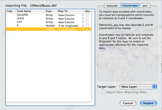 |
Screenshot of the Import Data Window |
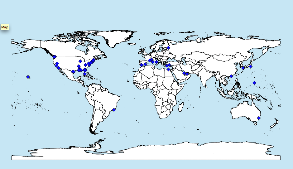 |
Screenshot of Geocoded Naval Bases |
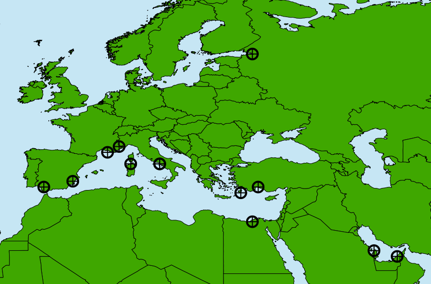 |
Screenshot of U.S. Naval Bases in Europe and the Middle East |
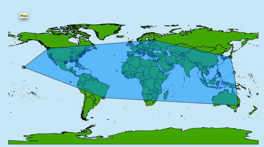 |
Convex Hull around U.S. Naval Bases |