- Wed 08 June 2011
- Cartographica
- Rick Jones
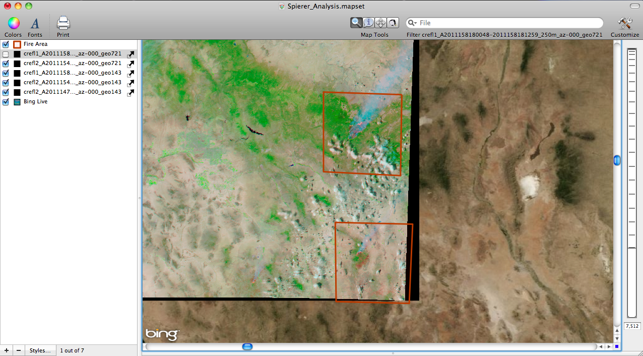
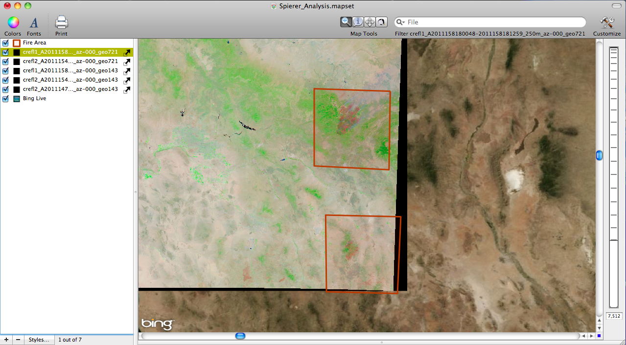
Arizona is currently experiencing a large wildfire on its Eastern border. The fire has been raging for several weeks and new satellite imagery produced by the U.S.Department of Agriculture Forest Service allows us to keep a daily watch on the fires. A great thing about the USDAFS data is that it is downloadable in Geotif format which allows for easy mapping and exploration.
In order to get the data into Cartographica all you need to do is download the GeoTIFF and then import the data as a raster file.
Below are several of the images. The images are uploaded daily so you can get fire images on the most recent day. The images I show below are from the 27th of may and the 3 and 6th of June.
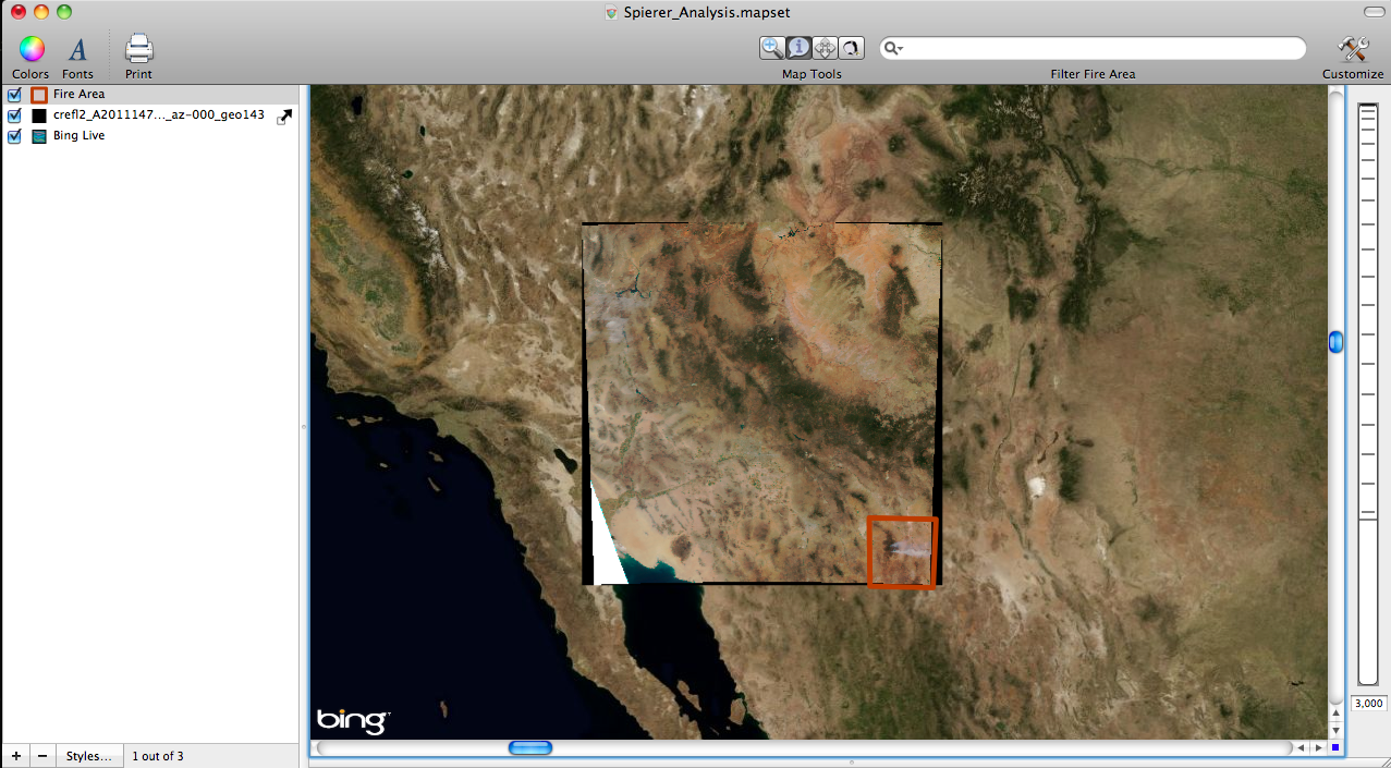
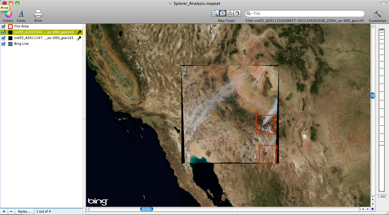
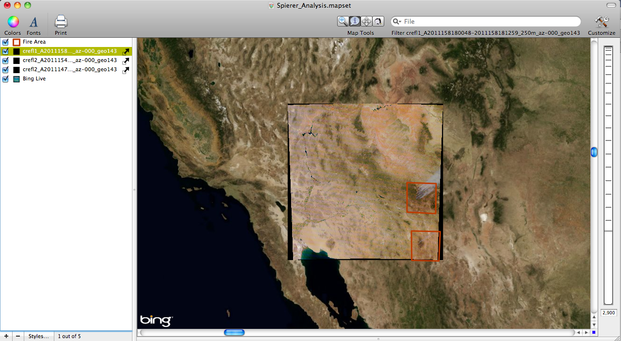
The last two images are of the same area except they are taken at different bands. The first three images were in 1, 4, and 6, the last two images are taken in 7,2,1.