- Thu 26 January 2012
- Cartographica
- Rick Jones
I am always very interested in what's going on in Korea. The border disputes that have occurred there over the past several years have made tensions in the area very high. Despite my interest in what's going on I don't know a lot about the specifics of the situation. In this post I use Cartographica to explore the area a little more.
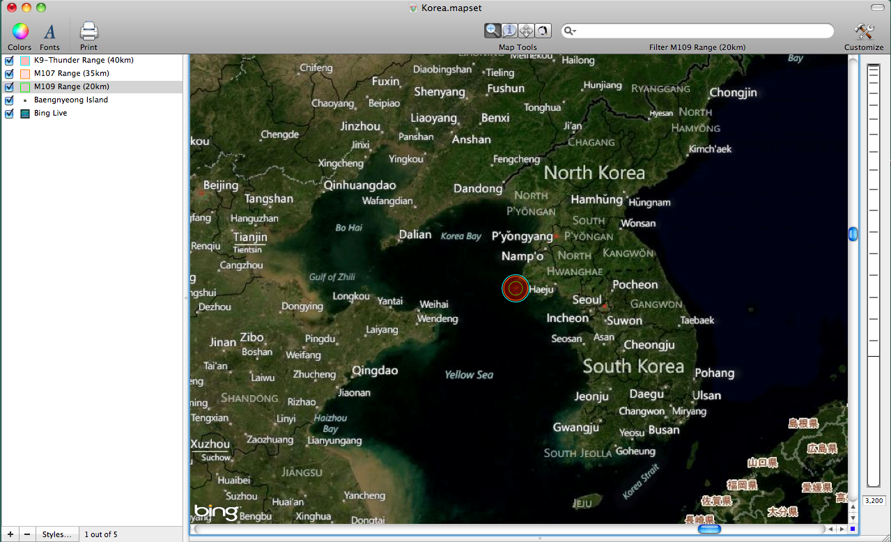
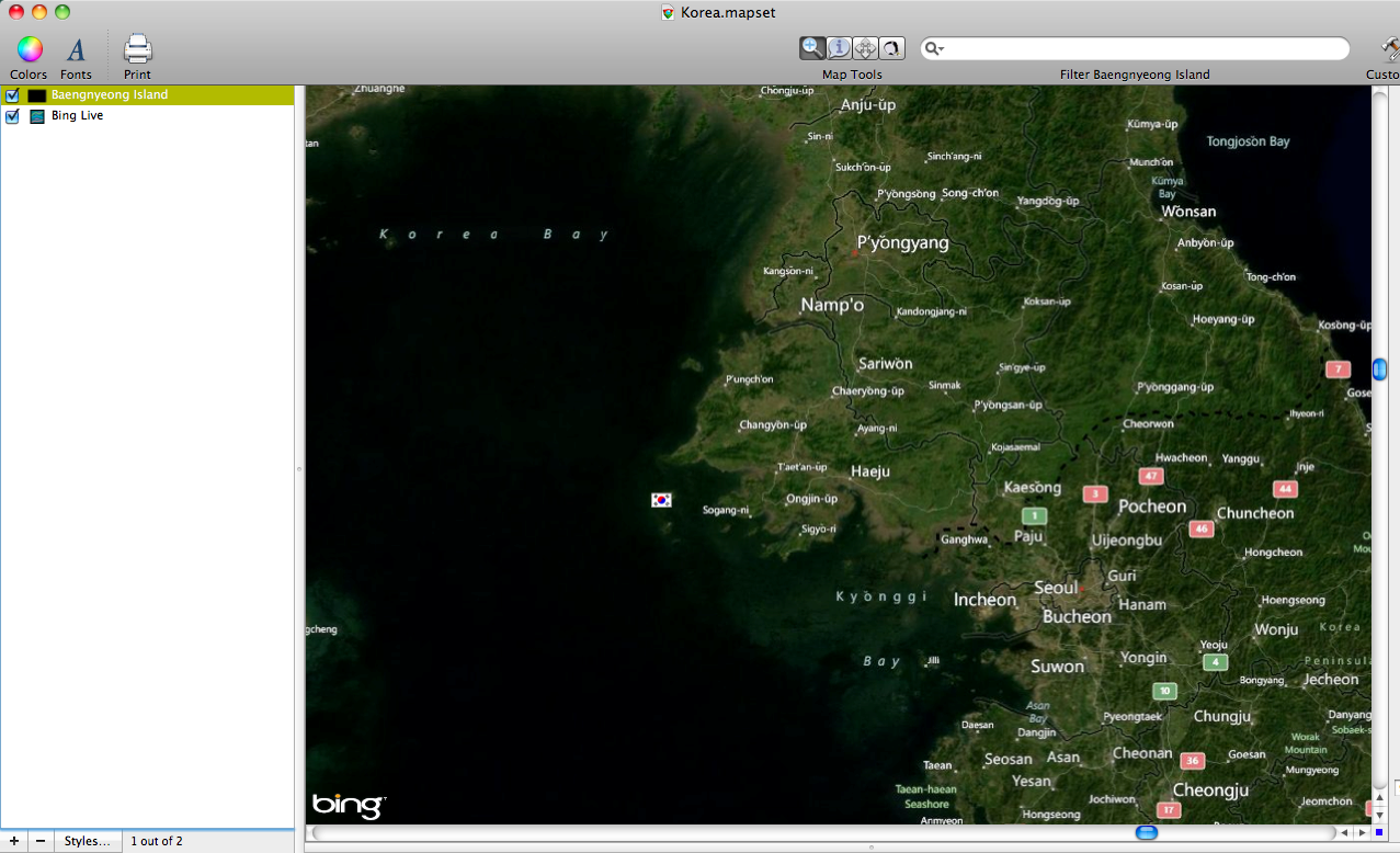
One of the biggest issues I am interested in is the artillery fire associated with an island called Baengnyeong Island. A Huffington Post article describes the most recent situation developing there. The article says that the South Korean military is firing practice shots into the water near the coast of North Korea. These two countries have been in a constant state of war since the 1950s so actions like these are always worth watching. For this post I am going to explore the ranges of several of South Korea's known artillery implements. The first image below shows the location of Baengnyeong Island in relation to North and South Korea's largest cities, Seoul and Pyongyang. Notice the island (indicated with a South Korean flag) off the West coast. In order to get the South Korean flag on the map I downloaded an image of the flag and then simply clicked and dragged it into the layer styles window.
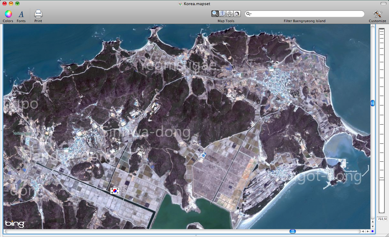
Here is a close up of Baengnyeong island.
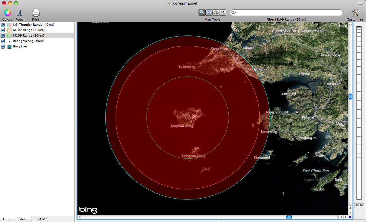
My question is: how far can South Korean artillery fire off of Baengnyeong Island? After doing a little internet research I discovered that the South Korea uses several different types of artillery. Obviously, the intelligence I am using for this is limited, but I think what I have discovered is fairly accurate. The other limitation of my research is that I don't know which of the active artillery implements in the Korean military is being put to use on the islands.
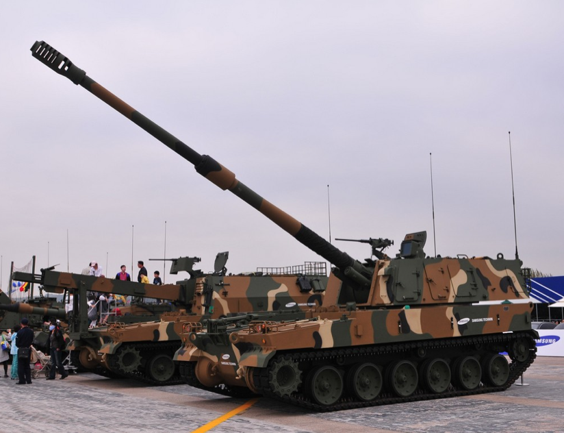
I discovered that the Korean military is most likely using the K9-Thunder Howitzer, which is a 50 ton 155 millimeter tracked artillery implement. Here is a picture of the K9. The K9's firing range depends on its ammunition, but it is approximately 40km.
Another implement that South Korea may be using is the American made M109 Howitzer, which is smaller than the K9-Thunder and has a range of about 20km.
Finally, there may also be slightly larger implements like the American made M107, which has a 175mm caliber. It is an older vehicle, but has a firing range of 35km.
To illustrate the range of these guns I created a buffer map based around the center of Baengyeong Island. The results are shown below. Its clear from the maps that artillery on Baengyeong Island could reach North Korean land. However, the distance inland is limited. Pyongyang is in no danger from that distance. Cartographica makes exploring problems like the Korean Island dispute very easy, and it allows you to create very informative maps. The next time I hear about artillery fire off of Korean Islands I will have a better understanding about what's going on.
To create the buffer maps I used a process that only takes a few minutes to do. First, I created a layer to represent the center of our area of interest:
- Choose Layer > New Layer to create a new layer
- Choose Edit > Add Feature... so that you can add the center point for the buffers, and choose Point when prompted for the layer type
- Hold the option key and click at the center of your area of interest to create the point itself and then press Enter to save it
Then, I chose Tools > Create Buffers for Layer's Features to create the buffers:
- Select the center layer (so it knows what to buffer)
- Choose Tools > Create Buffers… for Layer's Features
- Select Uniform Width and enter a value
- Click Buffer
I repeated this 3 times to create 3 buffers each at a different distance, renaming them and changing their colors using the Styles… button to differentiate them in the illustration.