- Mon 09 August 2010
- Cartographica
- Rick Jones
Recently two inmates escaped from a prison near Kingman, Arizona. The inmates, John McCluskey and Tracy Province have been on the run since July 30th. The two were helped by an accomplice named Casslyn Welch. It is believed that the three individuals are somewhere in Yellowstone National Park. However, it is also believed that Province is no longer with McCluskey and Welch.
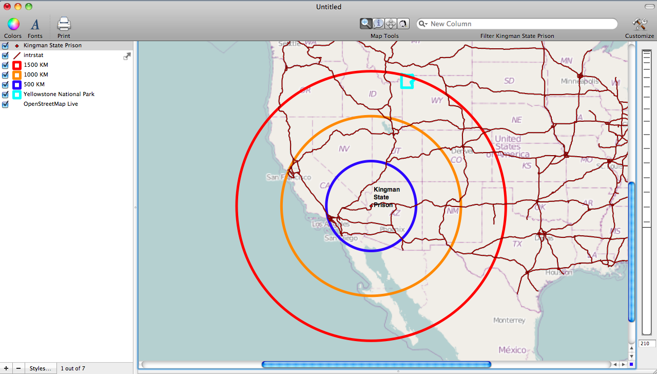
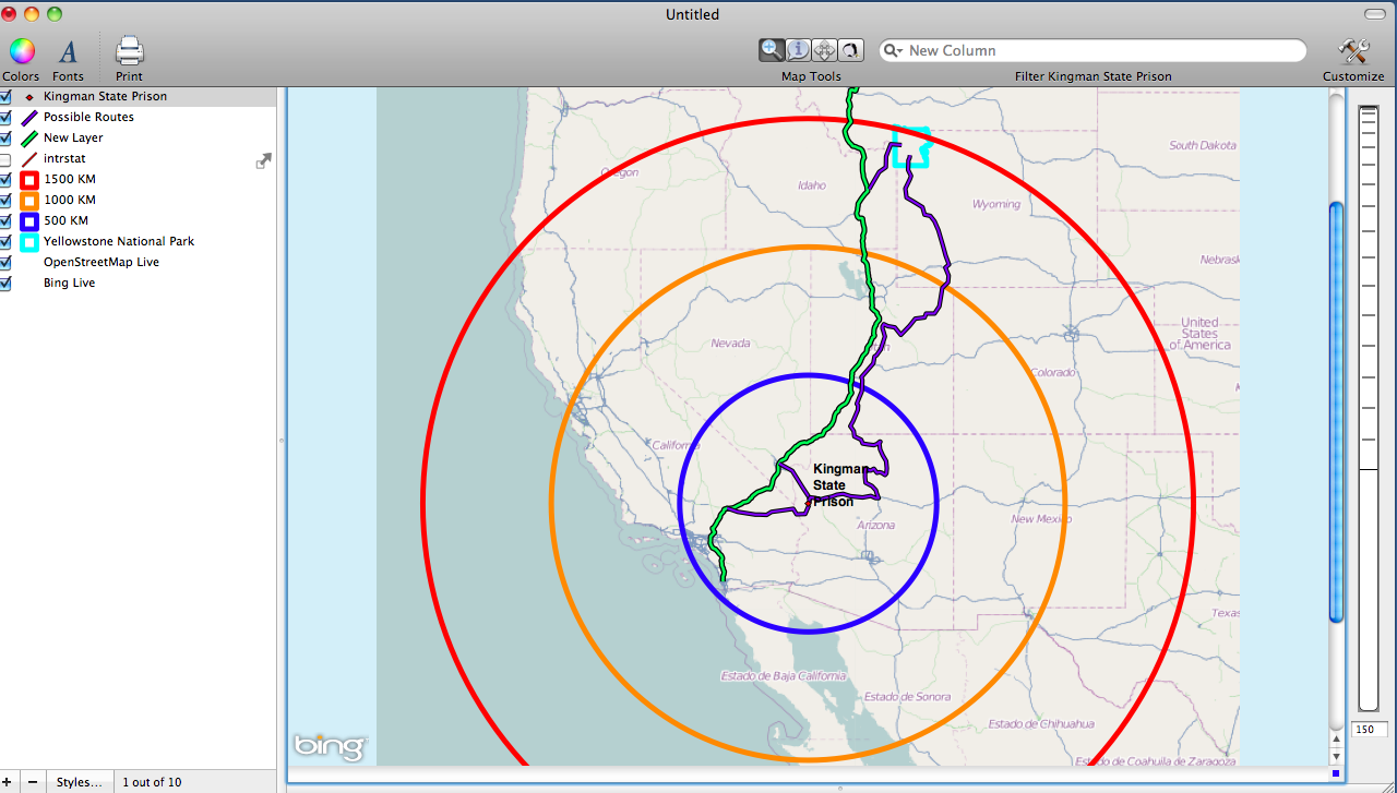
In this post we use GIS to map locations that have been mentioned in news reports regarding the escape. Also we conduct basic spatial analysis to illustrate how Cartographica can be utilized as a mapping tool for breaking situations. The first map shows the location of Kingman State Prison as well as the location of Yellowstone National Park. The buffers around the prison are distances set at 500, 1000, and 1500 kilometers. Notice that Yellowstone is nearly 1500 kilometers away from the Kingman Prison.
The second map shows some possible routes that the prisoners could have taken to get away from Kingman State Prison
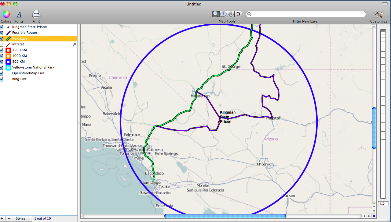
The third image shows Interstate 15 in Green and other possible routes that either connect to Interstate 15 or are completely backroad (Shown in Blue) There appears to be three ways that the prisoners likely could have used to flee if they were traveling by car.
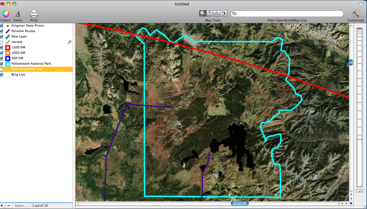
The fourth image shows a map of Yellowstone National Park
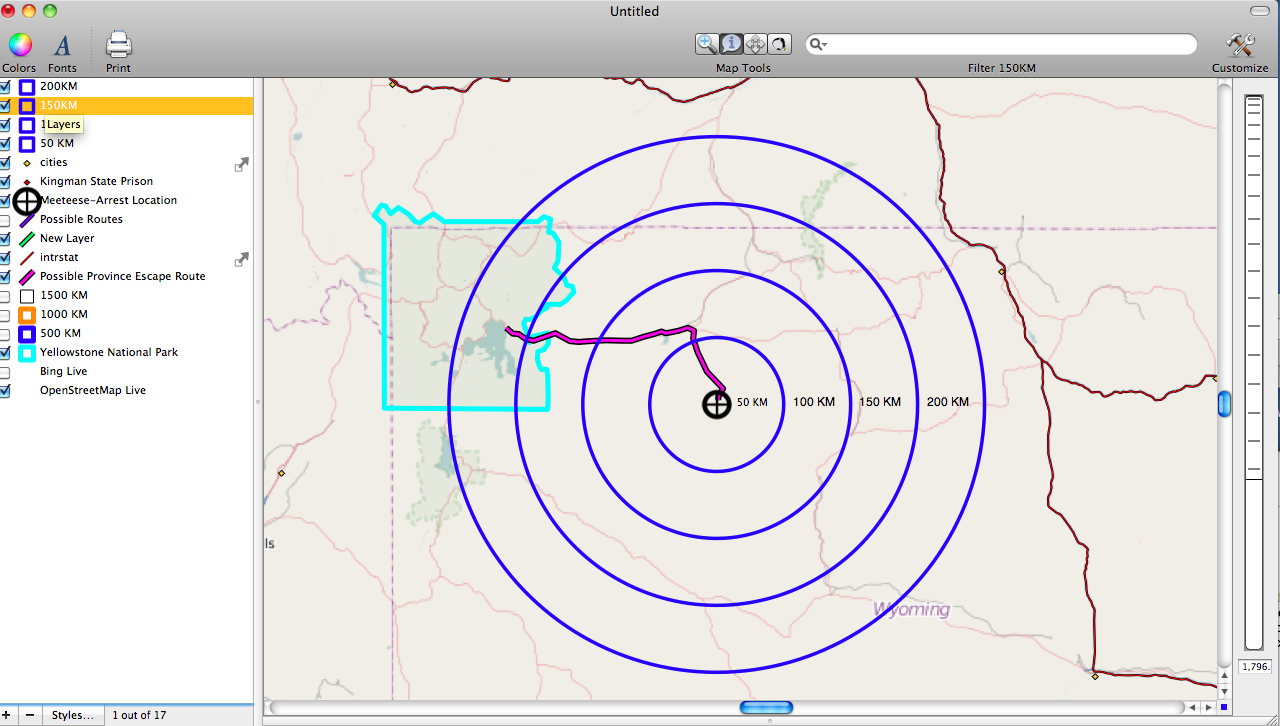
The fifth image shows the location of Province's arrest. Included are distances bands to show how far Province traveled from Yellowstone. Also included is the route that he most likely took if he were driving in a car.